
Plik:Hertfordshire UK location map.svg

Wielkość pliku podglądu PNG dla pliku SVG: 800 × 557 pikseli Inne rozdzielczości: 320 × 223 pikseli | 640 × 446 pikseli | 1024 × 713 pikseli | 1280 × 891 pikseli | 2560 × 1782 pikseli | 1425 × 992 pikseli.
Rozmiar pierwotny (Plik SVG, nominalnie 1425 × 992 pikseli, rozmiar pliku: 1,84 MB)
| Plik Hertfordshire UK location map.svg znajduje się w Wikimedia Commons – repozytorium wolnych zasobów. Dane z jego strony opisu znajdują się poniżej. |
| Opis |
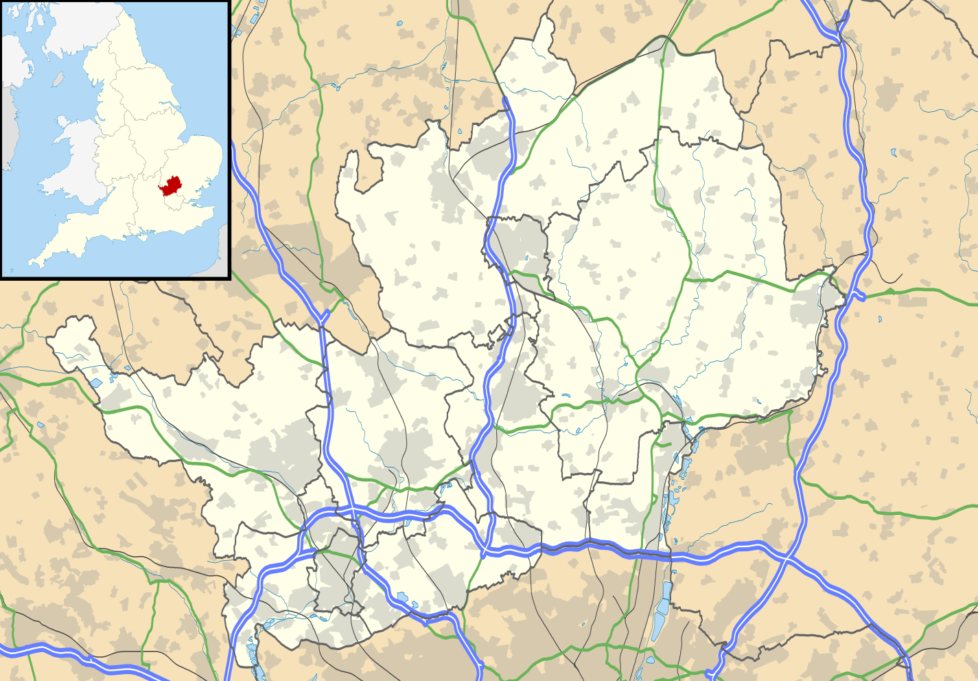
Map of Hertfordshire, UK with the following information shown:
Equirectangular map projection on WGS 84 datum, with N/S stretched 160% Geographic limits:
|
| Data | |
| Źródło |
|
| Autor | Nilfanion, created using Ordnance Survey data |
| Licencja (Ponowne użycie tego pliku) |
Ten plik udostępniony jest na licencji Creative Commons Uznanie autorstwa – Na tych samych warunkach 3.0. Uznanie autorstwa: Contains Ordnance Survey data © Crown copyright and database right
|
| Inne wersje | File:Hertfordshire UK district map (blank).svg - Blank map |
.svg)
Historia pliku
Kliknij na datę/czas, aby zobaczyć, jak plik wyglądał w tym czasie.
| Data i czas | Miniatura | Wymiary | Użytkownik | Opis | |
|---|---|---|---|---|---|
| aktualny | 20:56, 26 wrz 2010 | | 1425 × 992 (1,84 MB) | Nilfanion | {{Information |Description=Map of Hertfordshire, UK with the following information shown: *Administrative borders *Coastline, lakes and rivers *Roads and railways *Urban areas Equirectangular map projection on WGS 84 datum, with N/S s |
Lokalne wykorzystanie pliku
Z tego pliku korzysta więcej niż 100 stron. Poniższa lista pokazuje jedynie 100 pierwszych z nich. Dostępna jest również pełna lista.
- Abbots Langley
- Adeyfield
- Albury (Hertfordshire)
- Albury End
- Aldbury
- Aldenham
- Allen’s Green
- Ansells End
- Anstey (Hertfordshire)
- Apsley
- Ardeley
- Ashwell (Hertfordshire)
- Aspenden
- Aston (Hertfordshire)
- Aston End
- Astrope
- Ayot Green
- Ayot St Lawrence
- Ayot St Peter
- Babbs Green
- Bakers End
- Baldock
- Ballingdon Bottom
- Barkway
- Barley (Hertfordshire)
- Barleycroft End
- Barwick (Hertfordshire)
- Batchworth
- Batford
- Bayford
- Beane
- Bedmond
- Bell Bar
- Belsize
- Bengeo
- Bengeo Rural
- Benington (Hertfordshire)
- Bennetts End
- Berkhamsted
- Bishop’s Stortford
- Borehamwood
- Bourne End (Hertfordshire)
- Bovingdon
- Bower Heath
- Boxmoor
- Bozen Green
- Bragbury End
- Braughing
- Braughing Friars
- Brent Pelham
- Brickendon
- Bricket Wood
- Brookmans Park
- Broxbourne
- Buckland (Hertfordshire)
- Buntingford
- Bushey
- Bygrave
- Caldecote (Hertfordshire)
- Chapmore End
- Charlton (Hertfordshire)
- Chaulden
- Cherry Green (Hertfordshire)
- Cheshunt
- Chipperfield
- Chorleywood
- Eastbury (Hertfordshire)
- Harpenden
- Harpenden (stacja kolejowa)
- Hatfield (Hertfordshire)
- Hemel Hempstead
- Hertford
- Hertfordshire
- Hitchin
- Hoddesdon
- Hunsdon
- Katedra w St Albans
- Klasztor Sopwell
- Knebworth
- Letchworth Garden City
- Little Amwell
- Market Place
- Muzea St Albans
- Potters Bar
- Rickmansworth
- Royston (Hertfordshire)
- Sawbridgeworth
- South Oxhey
- Spellbrook
- St Albans
- St Albans Abbey (stacja kolejowa)
- St Albans City (stacja kolejowa)
- Stevenage
- Tring
- Uniwersytet Hertfordshire
- Vicarage Road
- Waltham Cross
- Ware (Hertfordshire)
- Watford
- Watford Junction
Pokaż więcej odnośników do tego pliku.
Globalne wykorzystanie pliku
Ten plik jest wykorzystywany także w innych projektach wiki:
- Wykorzystanie na ar.wikipedia.org
- Wykorzystanie na bg.wikipedia.org
- Wykorzystanie na ceb.wikipedia.org
- Wykorzystanie na en.wikipedia.org
- Hatfield, Hertfordshire
- Hertfordshire
- St Albans
- Verulamium
- St Albans Cathedral
- Hatfield House
- Berkhamsted
- Bricket Wood
- Hemel Hempstead
- Hoddesdon
- Royston, Hertfordshire
- Hitchin
- Preston, Hertfordshire
- Apsley, Hertfordshire
- Welwyn Garden City
- Borehamwood
- Welwyn
- Watford tube station
- Harpenden
- Hertford
- Potters Bar
- Bishop's Stortford
- Tring
- Frithsden
- Rickmansworth
- Watford Junction railway station
- Nettleden
- Ringshall, Berkhamsted
- Much Hadham
- Kings Langley
- Mill Green Museum
- Baldock
- Buntingford
- Cheshunt
- Aldbury
- Ashridge
- Sawbridgeworth
- Ware, Hertfordshire
- Bovingdon
- London Colney
- Elstree Studios
- Bushey
- Redbourn
- Redbournbury Mill
- Elstree
- Warner Bros. Studios, Leavesden
- Willian, Hertfordshire
Pokaż listę globalnego wykorzystania tego pliku.