
Plik:P-Africa.svg

Wielkość pliku podglądu PNG dla pliku SVG: 609 × 599 pikseli Inne rozdzielczości: 244 × 240 pikseli | 488 × 480 pikseli | 781 × 768 pikseli | 1041 × 1024 pikseli | 2081 × 2048 pikseli | 1123 × 1105 pikseli.
Rozmiar pierwotny (Plik SVG, nominalnie 1123 × 1105 pikseli, rozmiar pliku: 336 KB)
| Plik P-Africa.svg znajduje się w Wikimedia Commons – repozytorium wolnych zasobów. Dane z jego strony opisu znajdują się poniżej. |
Opis
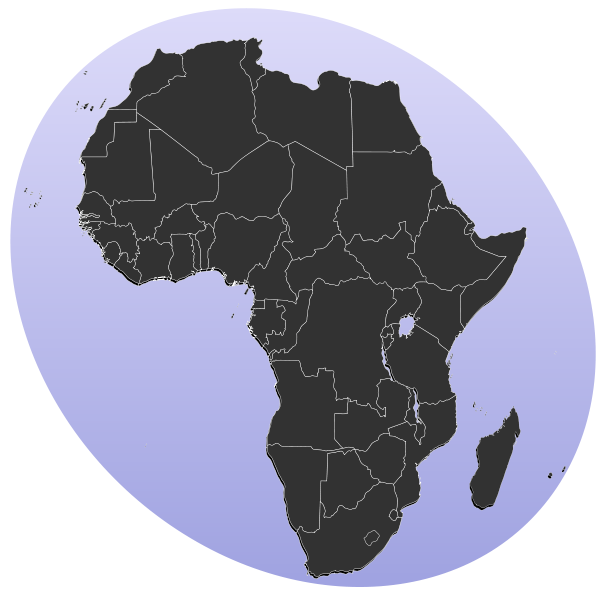
| Opis | Blank map of Africa Detailed SVG map with grouping enabled to connect all non-contiguous parts of a country's territory for easy colouring. Smaller countries can also be represented by larger circles to show their data easier. All countries are tagged by their ISO code. A thorough description of use and other instructions can be found on the instruction page for the World map. The circles used to mark small countries have been reduceed in size compared to BlankMap-World6.svg, also Gambia does not have a circle in this version. For completion, per en:Africa#Territories and regions, Madeira (pt-30), Canary Islands (es-cn), Réunion (re), Mayotte (yt) and Saint Helena (sh) have been added to the map. Ceuta and Melilla were not added since they don't exist in BlankMap-World6.svg. To make these territories transparent simply use the style .sh, .pt-30, .es-cn, .yt, .re {opacity: 0;} | ||
| Data | (UTC) | ||
| Źródło |
Ten plik jest pochodną pracą: BlankMap-Africa.svg: |
||
| Autor |
|
||
| SVG rozwój | Kod źródłowy tego poprawny. Ta mapa została stworzona za pomocą Inkscape, or with something else.
|
Licencja
| Ten utwór został udostępniony jako własność publiczna przez jego autora, Lokal_Profil. Dotyczy to całego świata. W niektórych krajach może nie być to prawnie możliwe, jeśli tak, to: |
Oryginalny rejestr przesyłania
This image is a derivative work of the following images:
- File:BlankMap-Africa.svg licensed with PD-user
- 2011-11-08T13:50:11Z Htonl 1000x1000 (188219 Bytes) South Sudan has been allocated ISO code SS; change class and id correspondingly
- 2011-07-09T21:38:33Z Lokal_Profil 1000x1000 (188235 Bytes) Fixed code. Essentialy reverted and readded south sudan manually
- 2011-07-09T17:09:06Z Seb az86556 1000x1000 (189357 Bytes) +South Sudan
- 2010-07-18T16:04:42Z Stephen Morley 1000x1000 (189216 Bytes) Fixed errors that made SVG invalid
- 2009-09-22T16:22:54Z Lokal_Profil 1000x1000 (188987 Bytes) Reverted to version as of 00:54, 3 April 2008; the new map contains none of the iso code and css abilities of the original
- 2009-09-22T15:11:08Z NuclearVacuum 1000x1000 (360040 Bytes) minor change
- 2009-09-22T15:06:20Z NuclearVacuum 1000x1000 (360239 Bytes) Fixed map so it shows surrounding countries as well as making the code valid
- 2008-04-03T00:54:00Z Lokal_Profil 1000x1000 (188987 Bytes) reunion, saint helena, madeira and canary islands (mayotte already in) added for completion
- 2008-04-01T00:21:58Z Lokal_Profil 1000x1000 (185868 Bytes) Made circles smaller, and circular. They were the right size for the world map but to big for the Africa only map
- 2008-03-31T23:55:20Z Lokal_Profil 1000x1000 (185877 Bytes) Removed circle for gambia, not needed for Africa only map
- 2008-03-24T03:09:01Z Lokal_Profil 1000x1000 (186084 Bytes) {{Information |Description=Blank map of Africa Detailed SVG map with grouping enabled to connect all non-contiguous parts of a country's territory for easy colouring. Smaller countries can also be represented by larger circl
Uploaded with derivativeFX
Historia pliku
Kliknij na datę/czas, aby zobaczyć, jak plik wyglądał w tym czasie.
| Data i czas | Miniatura | Wymiary | Użytkownik | Opis | |
|---|---|---|---|---|---|
| aktualny | 15:31, 18 sty 2012 | | 1123 × 1105 (336 KB) | Amirki | סיני |
| 21:22, 17 sty 2012 |  | 1079 × 1068 (337 KB) | Amirki | . | |
| 21:20, 17 sty 2012 |  | 1000 × 1000 (337 KB) | Amirki | == {{int:filedesc}} == {{Information |Description=Blank map of Africa Detailed SVG map with grouping enabled to connect all non-contiguous parts of a country's territory for easy colouring. Smaller countries can also be represented by larger circles to s |
Lokalne wykorzystanie pliku
Żadna strona nie korzysta z tego pliku.
Globalne wykorzystanie pliku
Ten plik jest wykorzystywany także w innych projektach wiki:
- Wykorzystanie na als.wikipedia.org
- Wykorzystanie na be-tarask.wikipedia.org
- Wykorzystanie na bg.wikipedia.org
- Африка
- Серенгети
- Египет
- Мозамбик
- Ангола
- Древен Египет
- Кампала
- Сервал
- Нок
- Северен жираф
- Огун
- Нигерия
- Орания
- Хаутенг
- Бенин
- Демократична република Конго
- Кабо Верде
- Намибия
- Танзания
- Архаичен период на Египет
- Ново царство
- Сеута
- Бушмени
- Птах
- Майот
- Муамар Кадафи
- Канарски острови
- Сръчен човек
- Мелиля
- Реюнион
- Сехмет
- Френска Западна Африка
- Сирт
- Карнак
- Книга на мъртвите (Древен Египет)
- Арабски халифат
- Гиза (област)
Pokaż listę globalnego wykorzystania tego pliku.