
Plik:CalGoldRushMap.jpg

Rozmiar pierwotny (1416 × 1796 pikseli, rozmiar pliku: 1,18 MB, typ MIME: image/jpeg)
| Plik CalGoldRushMap.jpg znajduje się w Wikimedia Commons – repozytorium wolnych zasobów. Dane z jego strony opisu znajdują się poniżej. |
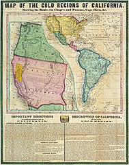
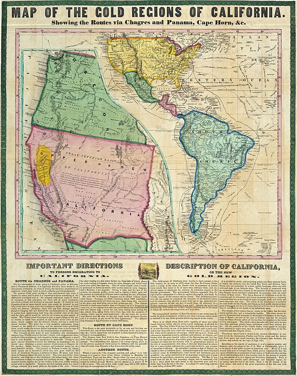
| Opis | Map of the Gold Regions of California, Showing the Routes via | ||||
| Data | |||||
| Źródło | David Rumsey Map Collection | ||||
| Autor | Ensigns & Thayer | ||||
| Licencja (Ponowne użycie tego pliku) |
|
||||
Original Source -
Map of the Gold Regions of California, Showing Routes Historic Maps of the California Gold Rush
Historia pliku
Kliknij na datę/czas, aby zobaczyć, jak plik wyglądał w tym czasie.
| Data i czas | Miniatura | Wymiary | Użytkownik | Opis | |
|---|---|---|---|---|---|
| aktualny | 14:44, 22 wrz 2011 | | 1416 × 1796 (1,18 MB) | Soerfm | Higher resolution |
| 02:11, 7 cze 2007 |  | 618 × 768 (111 KB) | Akarrer~commonswiki | {{Information |Description=Map of the Gold Regions of California, Showing the Routes via |Source=David Rumsey Map Collection |Date=1849 |Author=Ensigns & Thayer |Permission={{cc-by-sa-2.0}} |other_versions= }} |
Lokalne wykorzystanie pliku
Następujące strony korzystają z tego pliku:
Globalne wykorzystanie pliku
Ten plik jest wykorzystywany także w innych projektach wiki:
- Wykorzystanie na da.wikipedia.org
- Wykorzystanie na en.wikipedia.org
- Wykorzystanie na fr.wikipedia.org
- Wykorzystanie na ga.wikipedia.org
- Wykorzystanie na he.wikipedia.org
- Wykorzystanie na hu.wikipedia.org
- Wykorzystanie na ja.wikipedia.org
- Wykorzystanie na nv.wikipedia.org
- Wykorzystanie na sv.wikipedia.org
- Wykorzystanie na vi.wikipedia.org