
Plik:Alverthorpe Wakefield - geograph.org.uk - 31072.jpg
Grafika w wyższej rozdzielczości nie jest dostępna.
Alverthorpe_Wakefield_-_geograph.org.uk_-_31072.jpg (640 × 541 pikseli, rozmiar pliku: 74 KB, typ MIME: image/jpeg)
| Plik Alverthorpe Wakefield - geograph.org.uk - 31072.jpg znajduje się w Wikimedia Commons – repozytorium wolnych zasobów. Dane z jego strony opisu znajdują się poniżej. |
Opis
| Opis |
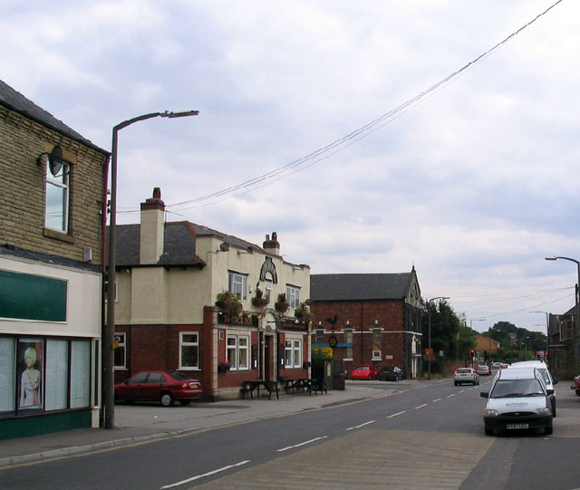
English: Alverthorpe Wakefield. The centre of Alverthorpe near Wakefield, sometimes referred to as the Alverthorpe Triangle. Wrenthorpe and Alverthorpe Meadows are bordered on their eastern edge by the GNER London to Leeds railway and hemmed in by the housing estates of Wrenthorpe and Alverthorpe on the other two sides. |
| Data | |
| Źródło | From geograph.org.uk |
| Autor | Mick Melvin |
| Uznanie autorstwa (wymagana przez licencję) | Mick Melvin / Alverthorpe Wakefield / |
| Pozycja obiektu | | To i inne zdjęcia na: OpenStreetMap |
|---|
_&language=pl)
Licencja

|
Ta grafika pochodzi z kolekcji projektu Geograph. Aby zobaczyć szczegóły możesz odwiedzić stronę tego zdjęcia w serwisie Geograph. Prawa autorskie do tej grafiki posiada Mick Melvin i jest ona udostępniona na licencji Creative Commons Uznanie autorstwa – Na tych samych warunkach 2.0.
|
Ten plik udostępniony jest na licencji Creative Commons Uznanie autorstwa – Na tych samych warunkach 2.0.
Uznanie autorstwa: Mick Melvin
- Wolno:
- dzielić się – kopiować, rozpowszechniać, odtwarzać i wykonywać utwór
- modyfikować – tworzyć utwory zależne
- Na następujących warunkach:
- uznanie autorstwa – musisz określić autorstwo utworu, podać link do licencji, a także wskazać czy utwór został zmieniony. Możesz to zrobić w każdy rozsądny sposób, o ile nie będzie to sugerować, że licencjodawca popiera Ciebie lub Twoje użycie utworu.
- na tych samych warunkach – Jeśli zmienia się lub przekształca niniejszy utwór, lub tworzy inny na jego podstawie, można rozpowszechniać powstały w ten sposób nowy utwór tylko na podstawie tej samej lub podobnej licencji.
Historia pliku
Kliknij na datę/czas, aby zobaczyć, jak plik wyglądał w tym czasie.
| Data i czas | Miniatura | Wymiary | Użytkownik | Opis | |
|---|---|---|---|---|---|
| aktualny | 14:25, 30 sty 2010 | | 640 × 541 (74 KB) | GeographBot | == {{int:filedesc}} == {{Information |description={{en|1=Alverthorpe Wakefield. The centre of Alverthorpe near Wakefield, sometimes referred to as the Alverthorpe Triangle. Wrenthorpe and Alverthorpe Meadows are bordered on their eastern edge by the GNER |
Lokalne wykorzystanie pliku
Poniższa strona korzysta z tego pliku:
Globalne wykorzystanie pliku
Ten plik jest wykorzystywany także w innych projektach wiki:
- Wykorzystanie na en.wikipedia.org
- Wykorzystanie na fa.wikipedia.org
- Wykorzystanie na www.wikidata.org