
Plik:Chapel St Leonards in 2006.jpg
Chapel_St_Leonards_in_2006.jpg (640 × 446 pikseli, rozmiar pliku: 111 KB, typ MIME: image/jpeg)
| Plik Chapel St Leonards in 2006.jpg znajduje się w Wikimedia Commons – repozytorium wolnych zasobów. Dane z jego strony opisu znajdują się poniżej. |
| Opis |
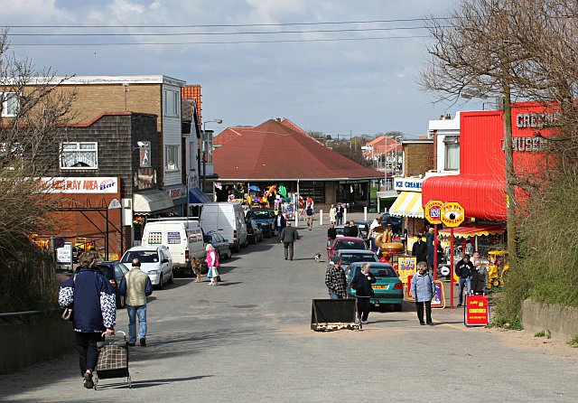
The Pullover at Chapel St Leonards, leading behind to the beach.
Original description: Chapel St Leonards |
| Data | |
| Źródło | From geograph.org.uk |
| Autor | Tony Atkin |
| Licencja (Ponowne użycie tego pliku) |
Creative Commons Attribution Share-alike license 2.0 |
| Pozycja fotografa | | To i inne zdjęcia na: OpenStreetMap |
|---|

|
Ta grafika pochodzi z kolekcji projektu Geograph. Aby zobaczyć szczegóły możesz odwiedzić stronę tego zdjęcia w serwisie Geograph. Prawa autorskie do tej grafiki posiada Tony Atkin i jest ona udostępniona na licencji Creative Commons Uznanie autorstwa – Na tych samych warunkach 2.0.
|
- Wolno:
- dzielić się – kopiować, rozpowszechniać, odtwarzać i wykonywać utwór
- modyfikować – tworzyć utwory zależne
- Na następujących warunkach:
- uznanie autorstwa – musisz określić autorstwo utworu, podać link do licencji, a także wskazać czy utwór został zmieniony. Możesz to zrobić w każdy rozsądny sposób, o ile nie będzie to sugerować, że licencjodawca popiera Ciebie lub Twoje użycie utworu.
- na tych samych warunkach – Jeśli zmienia się lub przekształca niniejszy utwór, lub tworzy inny na jego podstawie, można rozpowszechniać powstały w ten sposób nowy utwór tylko na podstawie tej samej lub podobnej licencji.
Historia pliku
Kliknij na datę/czas, aby zobaczyć, jak plik wyglądał w tym czasie.
| Data i czas | Miniatura | Wymiary | Użytkownik | Opis | |
|---|---|---|---|---|---|
| aktualny | 10:37, 17 maj 2008 | | 640 × 446 (111 KB) | Edward | {{Information |Description=w:Chapel St Leonards Original description: '''Chapel St Leonards''' |Source=From [http://www.geograph.org.uk/photo/154851 geograph.org.uk] |Date=Monday, 17 April, 2006 |Author=[http://www.geograph.org.uk/profile/1324 Ton |
Lokalne wykorzystanie pliku
Poniższa strona korzysta z tego pliku:
Globalne wykorzystanie pliku
Ten plik jest wykorzystywany także w innych projektach wiki:
- Wykorzystanie na ca.wikipedia.org
- Wykorzystanie na en.wikipedia.org
- Wykorzystanie na nl.wikipedia.org