Dystrykt Vatomandry
Na mapach: 19,3341°S 48,9769°E/-19,334100 48,976900
| dystrykt | |
| Państwo | |
|---|---|
| Region | |
| Siedziba | |
| Populacja (2011[1]) • liczba ludności |
|
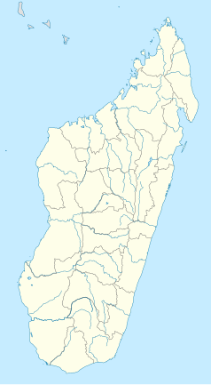
Położenie na mapie Madagaskaru  | |
| 19,3341°S 48,9769°E/-19,334100 48,976900 | |
Vatomandry – dystrykt Madagaskaru z siedzibą w Vatomandry, wchodzący w skład regionu Atsinanana. Przepływa przez niego rzeka Ambodibonara[2].
Demografia[edytuj | edytuj kod]
| 1993[3] | 2000[3] | 2001[3] | 2002[3] | 2003[3] | 2004[3] | 2005[3] | 2007[3] | 2011[1] |
|---|---|---|---|---|---|---|---|---|
| 99 383 | 139 541 | 144 137 | 148 843 | 153 650 | 158 720 | 163 958 | 174 958 | 132 565 |
Podział administracyjny[edytuj | edytuj kod]
W skład dystryktu wchodzi 16 gmin (kaominina)[4]:
- Ambalabe
- Ambalavolo
- Amboditavolo
- Ambodivoananto
- Ampasimadinika
- Ampasimazava
- Antanambao Mahatsara
- Ifasina I
- Ifasina II
- Ilaka Est
- Maintinandry
- Nierenana
- Sahamatevina
- Tanambao Vahatrakaka
- Tsivangiana
- Vatomandry
Przypisy[edytuj | edytuj kod]
- ↑ a b Institut National de la Statistique: Madagascar Administrative units. GeoHive. [dostęp 2013-12-11].
- ↑ Vatomandry District na: mindat.org.
- ↑ a b c d e f g h Population na: pnae.mg. [dostęp 2013-12-11]. [zarchiwizowane z tego adresu].
- ↑ Cornell University: The Commune Census of by the Ilo program of Cornell University in collaboration with FOFIFA and INSTAT. 2001. [dostęp 2013-12-09].

