
Plik:West Midlands UK location map.svg

Wielkość pliku podglądu PNG dla pliku SVG: 800 × 547 pikseli Inne rozdzielczości: 320 × 219 pikseli | 640 × 437 pikseli | 1024 × 700 pikseli | 1280 × 875 pikseli | 2560 × 1750 pikseli | 1425 × 974 pikseli.
Rozmiar pierwotny (Plik SVG, nominalnie 1425 × 974 pikseli, rozmiar pliku: 1,35 MB)
| Plik West Midlands UK location map.svg znajduje się w Wikimedia Commons – repozytorium wolnych zasobów. Dane z jego strony opisu znajdują się poniżej. |
| Opis |
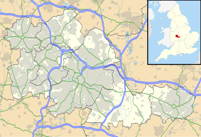
Map of the West Midlands, UK with the following information shown:
Equirectangular map projection on WGS 84 datum, with N/S stretched 160% Geographic limits:
|
| Data | |
| Źródło |
|
| Autor | Nilfanion, created using Ordnance Survey data |
| Licencja (Ponowne użycie tego pliku) |
Ten plik udostępniony jest na licencji Creative Commons Uznanie autorstwa – Na tych samych warunkach 3.0. Uznanie autorstwa: Contains Ordnance Survey data © Crown copyright and database right
|
| Inne wersje | File:West Midlands UK district map (blank).svg - Blank map |
.svg)
Historia pliku
Kliknij na datę/czas, aby zobaczyć, jak plik wyglądał w tym czasie.
| Data i czas | Miniatura | Wymiary | Użytkownik | Opis | |
|---|---|---|---|---|---|
| aktualny | 21:17, 26 wrz 2010 | | 1425 × 974 (1,35 MB) | Nilfanion | {{Information |Description=Map of the West Midlands, UK with the following information shown: *Administrative borders *Coastline, lakes and rivers *Roads and railways *Urban areas Equirectangular map projection on WGS 84 datu |
Lokalne wykorzystanie pliku
Z tego pliku korzysta więcej niż 100 stron. Poniższa lista pokazuje jedynie 100 pierwszych z nich. Dostępna jest również pełna lista.
- Aldridge
- Alexander Stadium
- Allesley
- Aston (West Midlands)
- BT Tower (Birmingham)
- Balsall Common
- Barston
- Bentley Heath
- Berkswell
- Berkswell (stacja kolejowa)
- Bescot Stadium
- Bickenhill
- Bilston
- Birmingham
- Birmingham International
- Birmingham Moor Street
- Birmingham New Street
- Birmingham Snow Hill
- Birmingham Superprix
- Blackheath (West Midlands)
- Bloxwich
- Brades Village
- Brierley Hill
- Brownhills
- Catherine-de-Barnes
- Cheswick Green
- Coseley
- Coventry
- Coventry (stacja kolejowa)
- Coventry Building Society Arena
- Cradley Heath
- Darlaston
- Dickens Heath
- Dorridge
- Dudley
- Edgbaston
- Erdington
- Fellows Park
- Fordbridge
- Gornal
- Great Bridge
- Halesowen
- Hampton-in-Arden (stacja kolejowa)
- Hampton in Arden
- Handsworth (West Midlands)
- Highfield Road
- Hockley Heath
- Illey
- Katedra Saint Chad’s w Birmingham
- Katedra w Coventry
- Keresley
- Kingshurst
- Knowle (West Midlands)
- Kościół św. Pawła w Birmingham
- Ladywood
- Lye (Anglia)
- Lyndon (West Midlands)
- Marston Green
- Meriden (West Midlands)
- Molineux Stadium
- Nechells
- Netherton (West Midlands)
- O2 Academy Birmingham
- Oakham (West Midlands)
- Oldbury (West Midlands)
- Perry Barr
- Port lotniczy Birmingham
- Quarry Bank
- Rowley Regis
- Royal Sutton Coldfield
- Sedgley
- Small Heath
- Smethwick
- Smethwick Galton Bridge
- Smith’s Wood
- Soho (West Midlands)
- Soho House
- Solihull
- Sparkbrook
- Sparkhill
- Springfield (Birmingham)
- St Andrew’s Stadium
- Stourbridge
- Symphony Hall w Birmingham
- Temple Balsall
- The Hawthorns
- Tidbury Green
- Tipton (West Midlands)
- Tividale
- University of Birmingham
- University of Warwick
- Utilita Arena Birmingham
- Villa Park (stadion)
- Walsall
- Walsall (stacja kolejowa)
- Wednesbury
- Wednesfield
- West Bromwich
- West Midlands (hrabstwo)
- Willenhall
Pokaż więcej odnośników do tego pliku.
Globalne wykorzystanie pliku
Ten plik jest wykorzystywany także w innych projektach wiki:
- Wykorzystanie na ar.wikipedia.org
- Wykorzystanie na ast.wikipedia.org
- Wykorzystanie na bg.wikipedia.org
- Wykorzystanie na ceb.wikipedia.org
- Wykorzystanie na en.wikipedia.org
- Moseley
- Moseley and Kings Heath (ward)
- Coventry Cathedral
- Coventry Transport Museum
- 2002–03 FA Premier League
- 2003–04 FA Premier League
- Walsall
- West Bromwich
- Dudley
- Tipton
- Birmingham Airport
- Soho House
- Aston
- Smethwick
- Oldbury, West Midlands
- Rowley Regis
- Birmingham Town Hall
- Birmingham Museum and Art Gallery
- Aldridge
- Sutton Coldfield
- Bilston
- Sutton Park, West Midlands
- Blackheath, West Midlands
- Black Country Living Museum
- Dudley Castle
- Willenhall
- Halesowen
- Knowle, West Midlands
- Stourbridge
- Brierley Hill
- Brownhills
- Hampton in Arden
- Spaghetti Junction, Birmingham
- Edgbaston
- Sedgley
- Harborne
- Soho, West Midlands
- Birmingham Botanical Gardens, England
- 2004–05 FA Premier League
- Thinktank, Birmingham Science Museum
- Bournville
- Hall Green
- Northfield, Birmingham
Pokaż listę globalnego wykorzystania tego pliku.