
Plik:Estonia adm location map.svg

Rozmiar pierwotny (Plik SVG, nominalnie 1666 × 1484 pikseli, rozmiar pliku: 349 KB)
| Plik Estonia adm location map.svg znajduje się w Wikimedia Commons – repozytorium wolnych zasobów. Dane z jego strony opisu znajdują się poniżej. |
Opis
| Opis |
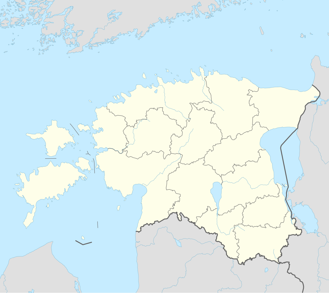
Deutsch: Positionskarte von Estland
English: Location map of Estonia
|
||||||||||||
| Data | |||||||||||||
| Źródło |
Praca własna przy użyciu:
|
||||||||||||
| Autor | NordNordWest | ||||||||||||
| Inne wersje |
|
||||||||||||
_location_map.svg)

|
Ta mapa została stworzona lub ulepszona w niemieckiej Kartenwerkstatt (Pracowni Kartograficznej). I Ty możesz zaproponować inne mapy do ulepszenia.
|
Licencja
Usage of this file with:

explanatory notes: Legally binding is only the full legalcode. For a free usage I recommend to respect the following licence conditions:
1. Provide my name as given above: NordNordWest,
2. a copy of, or the URI for, the applicable license: https://creativecommons.org/licenses/by-sa/3.0/de/legalcode,
3. the title of the work,
4. in the case of an adaptation, a credit identifying the use of the work in the adaptation.
This license and the rights granted hereunder will terminate automatically upon any breach by you of the terms of this license. Any of the above conditions can be waived if you get permission from the copyright holder. If you have questions or wish differing conditions, please contact me through nnwest or my discussion page ![]() t-online.de
t-online.de
- Wolno:
- dzielić się – kopiować, rozpowszechniać, odtwarzać i wykonywać utwór
- modyfikować – tworzyć utwory zależne
- Na następujących warunkach:
- uznanie autorstwa – musisz określić autorstwo utworu, podać link do licencji, a także wskazać czy utwór został zmieniony. Możesz to zrobić w każdy rozsądny sposób, o ile nie będzie to sugerować, że licencjodawca popiera Ciebie lub Twoje użycie utworu.
- na tych samych warunkach – Jeśli zmienia się lub przekształca niniejszy utwór, lub tworzy inny na jego podstawie, można rozpowszechniać powstały w ten sposób nowy utwór tylko na podstawie tej samej lub podobnej licencji.

Historia pliku
Kliknij na datę/czas, aby zobaczyć, jak plik wyglądał w tym czasie.
| Data i czas | Miniatura | Wymiary | Użytkownik | Opis | |
|---|---|---|---|---|---|
| aktualny | 20:27, 26 mar 2022 | | 1666 × 1484 (349 KB) | NordNordWest | upd |
| 19:17, 8 lis 2017 |  | 1666 × 1391 (346 KB) | NordNordWest | corr | |
| 16:05, 5 lis 2017 |  | 1666 × 1391 (346 KB) | NordNordWest | upd | |
| 19:19, 24 wrz 2014 |  | 1666 × 1391 (348 KB) | NordNordWest | == {{int:filedesc}} == {{Information |Description= {{de|1=Positionskarte von Estland}} {{en|1=Location map of Estonia}} {{Location map series N |stretching=180 |top=60.4 |bottom=57.2 |left=21.5 |right=28.4 }} |Source={{Own using}} * United States Natio... |
Lokalne wykorzystanie pliku
Z tego pliku korzysta więcej niż 100 stron. Poniższa lista pokazuje jedynie 100 pierwszych z nich. Dostępna jest również pełna lista.
- Aa (wieś)
- Anijala
- Ansi
- Aste (wieś)
- Asuküla
- Aula-Vintri
- Eikla
- Emmaste
- Endla (Lääne-Saare)
- Estonia
- Gmina Alajõe
- Gmina Are
- Gmina Audru
- Gmina Halinga
- Gmina Hanila
- Gmina Häädemeeste
- Gmina Juuru
- Gmina Jõgeva
- Gmina Jõhvi
- Gmina Kaisma
- Gmina Kaiu
- Gmina Kehtna
- Gmina Keila
- Gmina Kernu
- Gmina Kihnu
- Gmina Kohila
- Gmina Koonga
- Gmina Kose
- Gmina Kullamaa
- Gmina Käru
- Gmina Kõpu
- Gmina Kõue
- Gmina Lihula
- Gmina Martna
- Gmina Muhu
- Gmina Märjamaa
- Gmina Nõva
- Gmina Oru
- Gmina Paikuse
- Gmina Raasiku
- Gmina Raikküla
- Gmina Rapla
- Gmina Ridala
- Gmina Risti
- Gmina Ruhnu
- Gmina Saarde
- Gmina Sauga
- Gmina Surju
- Gmina Taebla
- Gmina Tahkuranna
- Gmina Tori
- Gmina Tõstamaa
- Gmina Varbla
- Gmina Vasalemma
- Gmina Vigala
- Gmina Vormsi
- Gmina Vändra
- Haamse
- Hakjala
- Hübja
- Iide
- Irase
- Jootme
- Järvakandi
- Jõe (Lääne-Saare)
- Jõhvi
- Kaarma
- Kaarmise
- Kaisvere
- Kasti (Sarema)
- Kaubi
- Keila
- Kellamäe
- Keskranna
- Keskvere (Lääne-Saare)
- Klooga
- Klooga (KL)
- Konkurs Piosenki Eurowizji 2002
- Kuressaare
- Kärdla
- Kärla
- Laimjala
- Leisi
- Liiva (Kihelkonna)
- Liiva (Muhu)
- Lista państw świata
- Lümanda
- Mustjala
- Narwa (miasto)
- Orissaare
- Otepää
- Parnawa
- Pejpus
- Pihtla
- Salme
- Saue
- Tallinn
- Tartu
- Toila
- Vaivara
Pokaż więcej odnośników do tego pliku.
Globalne wykorzystanie pliku
Ten plik jest wykorzystywany także w innych projektach wiki:
- Wykorzystanie na als.wikipedia.org
- Wykorzystanie na an.wikipedia.org
- Wykorzystanie na ar.wikipedia.org
- Wykorzystanie na ast.wikipedia.org
- Wykorzystanie na azb.wikipedia.org
- Wykorzystanie na az.wikipedia.org
Pokaż listę globalnego wykorzystania tego pliku.