
Thomas Close
Na mapach: 54°45′24,8″N 2°52′48,0″W/54,756889 -2,880000
| Państwo | |
|---|---|
| Kraj | |
| Region | |
| Hrabstwo | |
| Populacja • liczba ludności |
|
Położenie na mapie Kumbrii 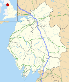 | |
Położenie na mapie Wielkiej Brytanii  | |
Położenie na mapie Anglii 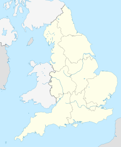 | |
| 54°45′24,8″N 2°52′48,0″W/54,756889 -2,880000 | |
Thomas Close – osada w Anglii, w Kumbrii.[1][2] W 1870-72 wieś liczyła 99 mieszkańców.[3]
Przypisy[edytuj | edytuj kod]
- ↑ NY4340 :: Browse 8 Images :: Geograph Britain and Ireland [online], www.geograph.org.uk [dostęp 2017-11-20] (ang.).
- ↑ Photos of Thomas :: Geograph Britain and Ireland [online], www.geograph.org.uk [dostęp 2017-11-20] (ang.).
- ↑ THOMAS-CLOSE | As described in John Marius Wilson's Imperial Gazetteer of England and Wales (1870-72) [online], www.visionofbritain.org.uk [dostęp 2017-11-20].