
Mathathane
Na mapach:  22°16′05″S 28°45′00″E/-22,268056 28,750000
| Państwo | |
|---|---|
| Dystrykt | |
| Populacja (2011) • liczba ludności |
|
Położenie na mapie Botswany 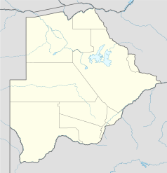 | |
Mathathane – wieś w Botswanie w dystrykcie Central. Według spisu ludności z 2011 roku wieś liczyła 2672 mieszkańców[1].
Przypisy[edytuj | edytuj kod]
- ↑ 2011 Botswana Population and Housing Census. Population of towns villages and associated localities.. The Central Statistics Office, Botswana. [dostęp 2016-01-01]. (ang.).