
Plik:Ethiopia adm location map.svg

Rozmiar pierwotny (Plik SVG, nominalnie 1843 × 1494 pikseli, rozmiar pliku: 353 KB)
| Plik Ethiopia adm location map.svg znajduje się w Wikimedia Commons – repozytorium wolnych zasobów. Dane z jego strony opisu znajdują się poniżej. |
Opis
| Opis |
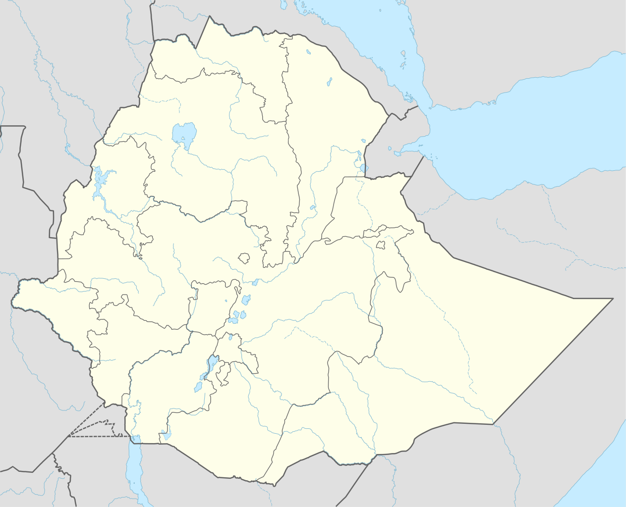
Deutsch: Positionskarte von Äthiopien
English: Location map of Ethiopia
|
||||||||||||
| Data | |||||||||||||
| Źródło |
Praca własna przy użyciu:
|
||||||||||||
| Autor | NordNordWest | ||||||||||||
| Inne wersje |
|
||||||||||||
_location_map.svg)
_location_map.svg)
_location_map.svg)


|
Ta mapa została stworzona lub ulepszona w niemieckiej Kartenwerkstatt (Pracowni Kartograficznej). I Ty możesz zaproponować inne mapy do ulepszenia.
|
Licencja
Usage of this file with:

explanatory notes: Legally binding is only the full legalcode. For a free usage I recommend to respect the following licence conditions:
1. Provide my name as given above: NordNordWest,
2. a copy of, or the URI for, the applicable license: https://creativecommons.org/licenses/by-sa/3.0/de/legalcode,
3. the title of the work,
4. in the case of an adaptation, a credit identifying the use of the work in the adaptation.
This license and the rights granted hereunder will terminate automatically upon any breach by you of the terms of this license. Any of the above conditions can be waived if you get permission from the copyright holder. If you have questions or wish differing conditions, please contact me through nnwest or my discussion page ![]() t-online.de
t-online.de
- Wolno:
- dzielić się – kopiować, rozpowszechniać, odtwarzać i wykonywać utwór
- modyfikować – tworzyć utwory zależne
- Na następujących warunkach:
- uznanie autorstwa – musisz określić autorstwo utworu, podać link do licencji, a także wskazać czy utwór został zmieniony. Możesz to zrobić w każdy rozsądny sposób, o ile nie będzie to sugerować, że licencjodawca popiera Ciebie lub Twoje użycie utworu.
- na tych samych warunkach – Jeśli zmienia się lub przekształca niniejszy utwór, lub tworzy inny na jego podstawie, można rozpowszechniać powstały w ten sposób nowy utwór tylko na podstawie tej samej lub podobnej licencji.

Historia pliku
Kliknij na datę/czas, aby zobaczyć, jak plik wyglądał w tym czasie.
| Data i czas | Miniatura | Wymiary | Użytkownik | Opis | |
|---|---|---|---|---|---|
| aktualny | 18:11, 11 wrz 2023 | | 1843 × 1494 (353 KB) | NordNordWest | upd 2023 |
| 01:12, 30 gru 2021 |  | 1843 × 1494 (352 KB) | NordNordWest | corr | |
| 03:59, 1 gru 2021 |  | 1843 × 1494 (359 KB) | Ue3lman | New South West Region | |
| 16:45, 13 paź 2021 |  | 1843 × 1494 (349 KB) | Gebagebo | Added dotted line to indicate Somaliland | |
| 11:09, 5 kwi 2021 |  | 1843 × 1494 (345 KB) | NordNordWest | . | |
| 11:41, 25 lis 2020 |  | 1843 × 1494 (350 KB) | NordNordWest | + Sidama | |
| 21:00, 27 cze 2020 |  | 1843 × 1494 (350 KB) | NordNordWest | upd | |
| 20:20, 25 mar 2015 |  | 1843 × 1494 (344 KB) | NordNordWest | == {{int:filedesc}} == {{Information |Description= {{de|1=Positionskarte von Äthiopien}} {{en|1=Location map of Ethiopia}} {{Location map series N |stretching=102 |top=15.3 |bottom=2.9 |left=32.7 |right=48.3 }} |Source={{Own using}} * United States Na... |
Lokalne wykorzystanie pliku
Z tego pliku korzysta więcej niż 100 stron. Poniższa lista pokazuje jedynie 100 pierwszych z nich. Dostępna jest również pełna lista.
- Adama
- Addis Abeba
- Addis Alem
- Addis Zemen
- Adigrat
- Adua
- Aksum (miasto)
- Alamata
- Ambo (Etiopia)
- Ankober
- Arba Myncz
- Asajta
- Asosa
- Assela
- Auasa
- Auasz (miasto)
- Awbere
- Bahyr Dar
- Bambasi
- Bati (Etiopia)
- Bekoji
- Bulen
- Debre Byrhan
- Debre Markos
- Debre Tabor
- Debre Zeit
- Debre Zeit (Beniszengul-Gumaz)
- Deder
- Degehabur
- Dembidolo
- Desje
- Dibate
- Dila (Etiopia)
- Dire Daua
- Dubti
- Dżidżiga
- Dżimma
- Dżinka
- Ethiopian Airlines
- Etiopia
- Fasil Ghebbi
- Fugnido
- Gambela
- Gewane
- Goba
- Godie
- Gonder
- Gorgora
- Gorie
- Hadar (Etiopia)
- Harer
- Hosaena
- Humera
- Irgalem
- Itang
- Kebri Dehar
- Kembolcza
- Kościół Yelet Giorgis w Buldze
- Kościół Świętego Jerzego w Lalibeli
- Kulubi
- Lalibela
- Lista państw świata
- Manbuk
- Mekelie
- Melka Sedi
- Melka Werer
- Meti
- Metu
- Negele Arsi
- Negele Boran
- Nekemtie
- Obelisk z Aksum
- Port lotniczy Addis Abeba
- Port lotniczy Aksum
- Port lotniczy Arba Myncz
- Port lotniczy Asosa
- Port lotniczy Auasa
- Port lotniczy Bahyr Dar
- Port lotniczy Beica
- Port lotniczy Debre Tabor
- Port lotniczy Dembidolo
- Port lotniczy Dire Daua
- Port lotniczy Dżidżiga
- Port lotniczy Gambela
- Port lotniczy Goba
- Port lotniczy Godie
- Port lotniczy Gonder
- Port lotniczy Gorie
- Port lotniczy Kebri Dehar
- Port lotniczy Lalibela
- Port lotniczy Mizan Teferi
- Port lotniczy Tiepi
- Raaso
- Soddo
- Szaszemenie
- Szyrie
- Tekkezje
- Tyja
- Ueldija
- Ueluel
Pokaż więcej odnośników do tego pliku.
Globalne wykorzystanie pliku
Ten plik jest wykorzystywany także w innych projektach wiki:
- Wykorzystanie na af.wikipedia.org
- Wykorzystanie na am.wikipedia.org
Pokaż listę globalnego wykorzystania tego pliku.