
Leinthall Starkes
Na mapach:  52°19′N 2°49′W/52,316667 -2,816667
| Państwo | |
|---|---|
| Kraj | |
| Region | |
| Hrabstwo ceremonialne | |
| Unitary authority | |
Położenie na mapie Herefordshire 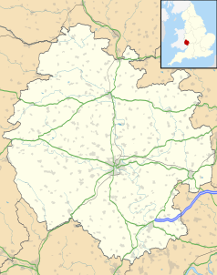 | |
Położenie na mapie Wielkiej Brytanii  | |
Położenie na mapie Anglii  | |
Leinthall Starkes – wieś w Anglii, w hrabstwie Herefordshire. Leży 30 km na północ od miasta Hereford i 206 km na północny zachód od Londynu[1].
Przypisy[edytuj | edytuj kod]
- ↑ Leinthall Starkes na mapie. getamap.ordnancesurvey.co.uk. [dostęp 2010-10-06]. (ang.).