
Lower Lemington
Na mapach: 52,008°N 1,683°W/52,008000 -1,683000
.jpg)
| |
| Państwo | |
|---|---|
| Kraj | |
| Region | |
| Hrabstwo | |
| Dystrykt | |
Położenie na mapie Gloucestershire 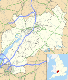 | |
Położenie na mapie Wielkiej Brytanii  | |
Położenie na mapie Anglii 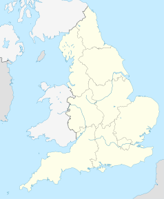 | |
| 52,008°N 1,683°W/52,008000 -1,683000 | |
Lower Lemington – wieś w Anglii, w hrabstwie Gloucestershire, w dystrykcie Cotswold, w civil parish Batsford[1][2][3]. Leży 2 km od miasta Moreton-in-Marsh. W 1931 roku civil parish liczyła 50 mieszkańców[4]. Lower Lemington jest wspomniana w Domesday Book (1086) jako Lemingtune/Limentone[5].
Przypisy[edytuj | edytuj kod]
- ↑ Relationships and changes Lower Lemington CP/Ch through time. Vision of Britain. [dostęp 2019-11-13]. (ang.).
- ↑ Parishes: Lower Lemington. British History Online. [dostęp 2019-11-13]. (ang.).
- ↑ Ordnance Survey
- ↑ Population Statistics Lower Lemington CP/Ch through time. Vision of Britain. [dostęp 2019-11-13]. (ang.).
- ↑ Gloucestershire G-P. The Domesday Book online. [dostęp 2019-11-13]. (ang.).
Linki zewnętrzne[edytuj | edytuj kod]
- Upper and Lower Lemington. Pastscape. [dostęp 2019-11-13]. (ang.).