
Cottontree and Winewall
Na mapach:  53°51′22″N 2°08′24″W/53,856111 -2,140000

| |
| Państwo | |
|---|---|
| Kraj | |
| Region | |
| Hrabstwo | |
| Dystrykt | |
Położenie na mapie Lancashire  | |
Położenie na mapie Wielkiej Brytanii  | |
Położenie na mapie Anglii 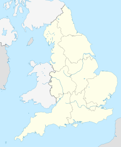 | |
Cottontree and Winewall – osada w Anglii, w hrabstwie Lancashire, w dystrykcie Pendle. Leży 44 km na północ od miasta Manchester i 294 km na północny zachód od Londynu[1].
Przypisy[edytuj | edytuj kod]
- ↑ Cottontree and Winewall na mapie. getamap.ordnancesurvey.co.uk. [dostęp 2010-10-06]. (ang.).