
Mitcheldean
Na mapach:  51°52′N 2°29′W/51,866667 -2,483333

| |
| Państwo | |
|---|---|
| Kraj | |
| Region | |
| Hrabstwo | |
| Dystrykt | |
| Populacja (2011) • liczba ludności |
|
| Nr kierunkowy |
01594 |
| Kod pocztowy |
GL17 |
Położenie na mapie Gloucestershire 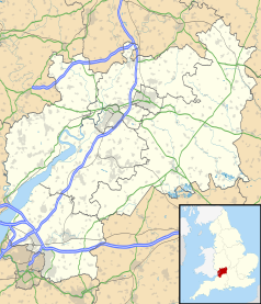 | |
Położenie na mapie Wielkiej Brytanii  | |
Położenie na mapie Anglii  | |
Mitcheldean – miasto i civil parish w Anglii, w hrabstwie Gloucestershire, w dystrykcie Forest of Dean[1]. Leży 17 km na zachód od miasta Gloucester i 168 km na zachód od Londynu[2]. W 2011 roku civil parish liczyła 2783 mieszkańców[3]. Mitcheldean jest wspomniana w Domesday Book (1086) jako Dene[4].
Przypisy
[edytuj | edytuj kod]- ↑ Mitcheldean. Ordnance Survey linked data. [dostęp 2016-04-19]. (ang.).
- ↑ Mitcheldean na mapie. getamap.ordnancesurvey.co.uk. [dostęp 2010-11-27]. (ang.).
- ↑ Area: Mitcheldean (Parish). Neighbourhood Statistics (ONS). [dostęp 2016-04-19]. [zarchiwizowane z tego adresu (2016-09-27)]. (ang.).
- ↑ Gloucestershire G-P. The Domesday Book online. [dostęp 2016-04-19]. (ang.).