
Stratton (Gloucestershire)
Na mapach: 51°43′59,7″N 1°58′38,9″W/51,733250 -1,977472

| |
| Państwo | |
|---|---|
| Kraj | |
| Region | |
| Hrabstwo | |
| Dystrykt | |
| Powierzchnia |
0.800 km² |
| Populacja (2015) • liczba ludności • gęstość |
|
Położenie na mapie Gloucestershire 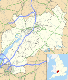 | |
Położenie na mapie Wielkiej Brytanii  | |
Położenie na mapie Anglii  | |
| 51°43′59,7″N 1°58′38,9″W/51,733250 -1,977472 | |
Stratton – wieś w Anglii, w hrabstwie Gloucestershire. Leży 2,2 km od miasta Cirencester, 23,4 km od miasta Gloucester i 133,4 km od Londynu[1]. W 2015 miejscowość liczyła 2548 mieszkańców[potrzebny przypis]. W 1931 roku civil parish liczyła 963 mieszkańców[2]. Stratton jest wspomniana w Domesday Book (1086) jako Stratune[3].
Przypisy[edytuj | edytuj kod]
- ↑ Distance from STRATTON [SP010030]. GENUKI. [dostęp 2017-10-22]. (ang.).
- ↑ liczba ludności. Vision of Britain. [dostęp 2017-10-22]. (ang.).
- ↑ Gloucestershire Q-Z and Welsh entries. The Domesday Book online. [dostęp 2017-10-22]. (ang.).